My visit to The Republic of Korea (South Korea) – North Korea (DPRK – The Democratic People´s Republic of Korea) is not accessible easily since Korean war and division of Korea in 1953. North and South Korea are divided by 38 degree parallel popularly called the De Militarized Zone (DMZ) – one of the most isolated and insecure borders in the world with land mines, tunnels, very restricted access, no cameras allowed etc.. kept by UN Joint command – It has restricted civilian access and requires a mandatory military escort. DMZ Tours require signing a waiver agreeing that no one is responsible for death, accident or injury and must adhere to the specified dress code (eg. no careless and casual dress like ripped jeans, sandals or unkempt hair etc.) and tours can end unexpectedly at any time if tensions rise at the border.In October 2018 – Both North and South Korea had discussions and have agreed to remove landmines across the border – Many dream of a peaceful united Korea and probably in future we may be able to visit North Korea.We have to wait and watch !
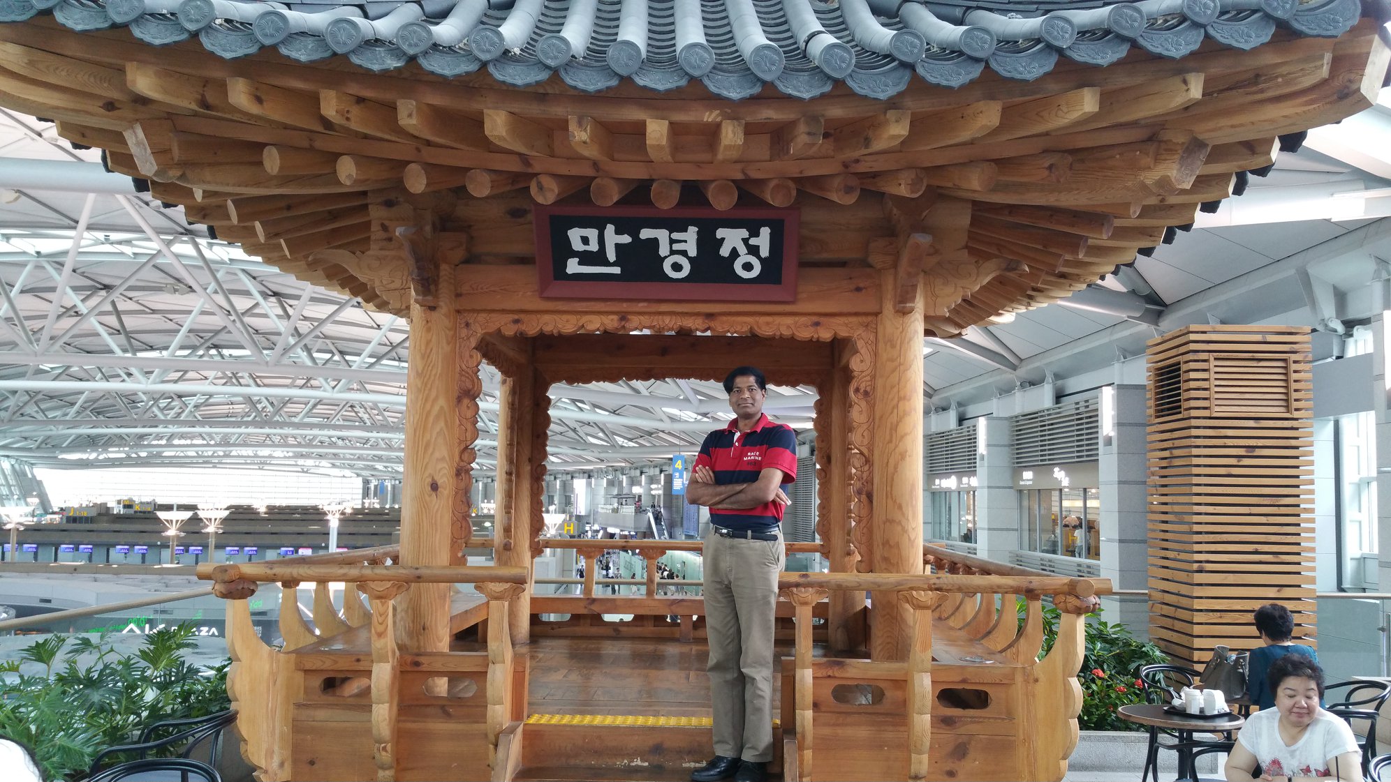
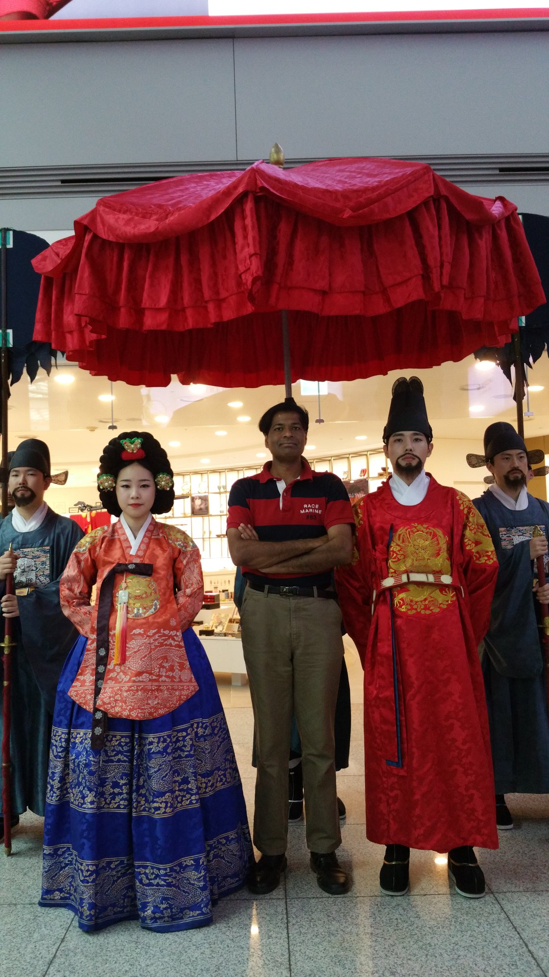
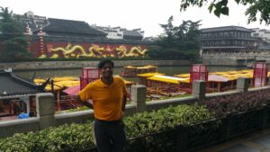
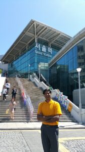
SEOUL
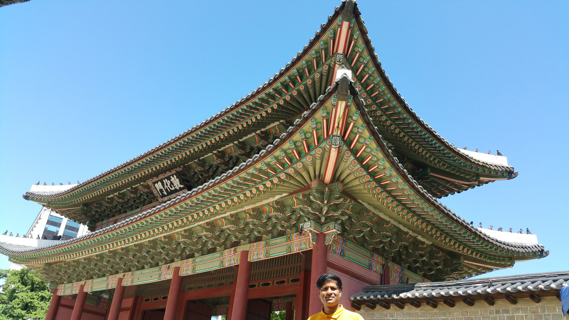
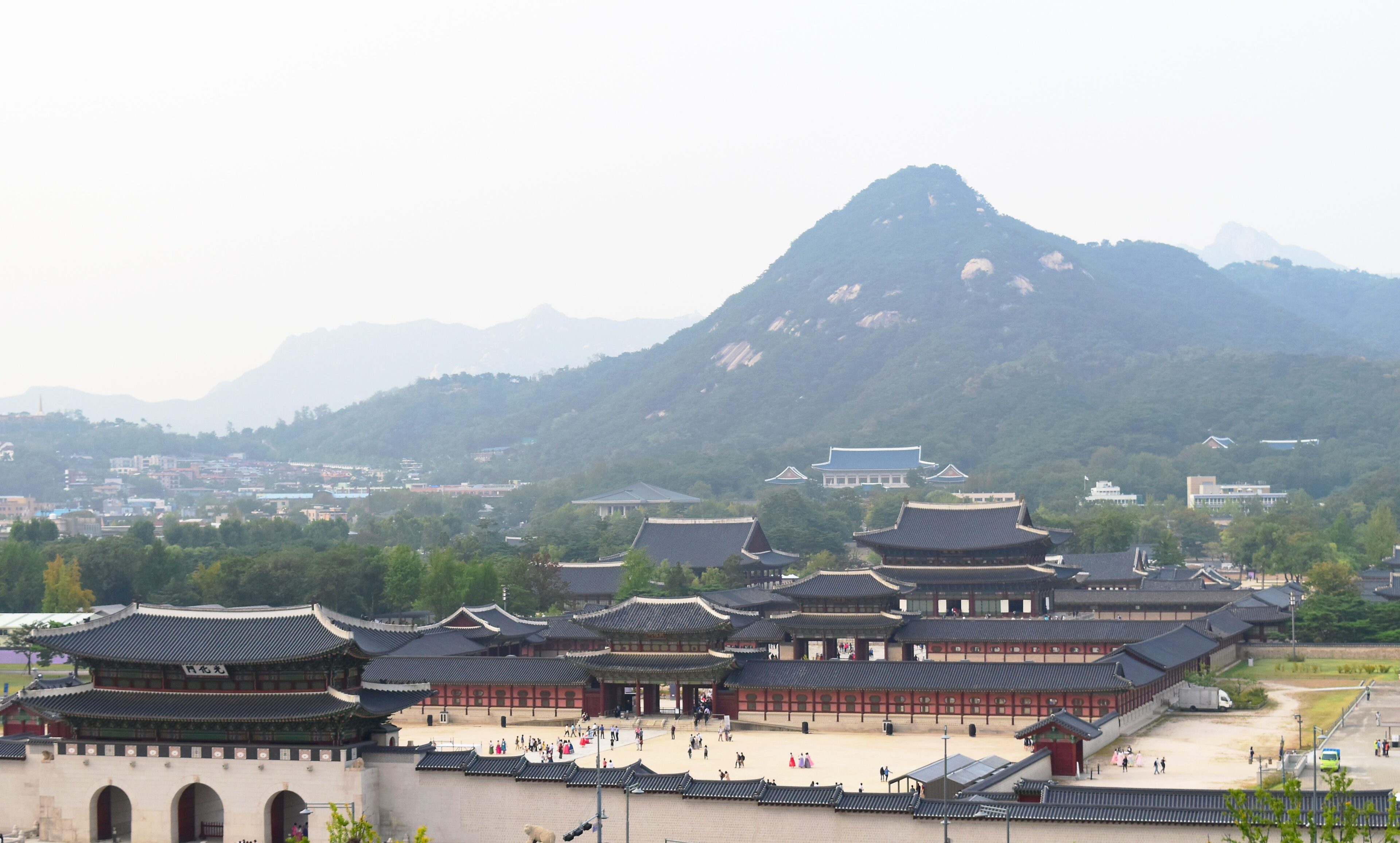
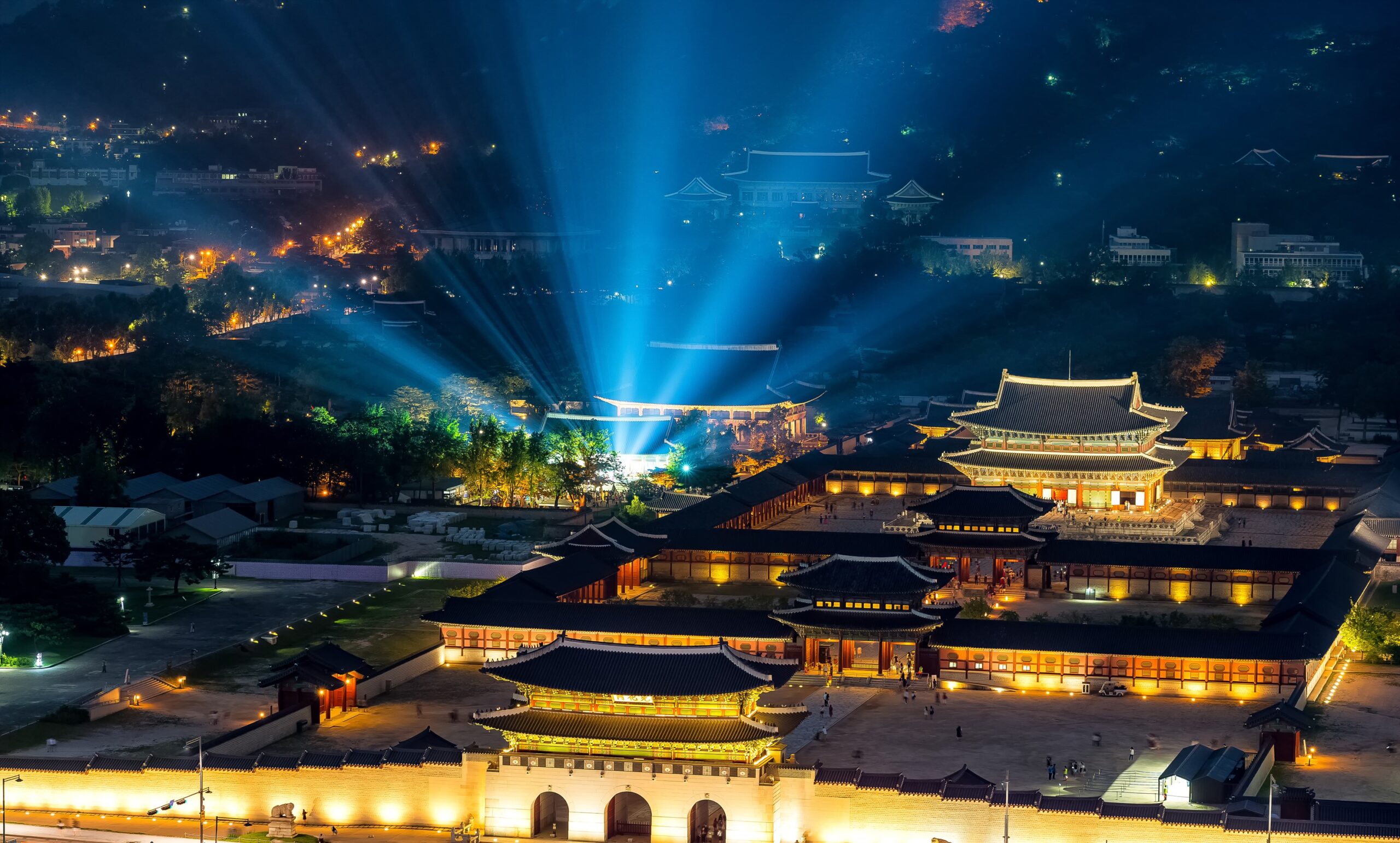
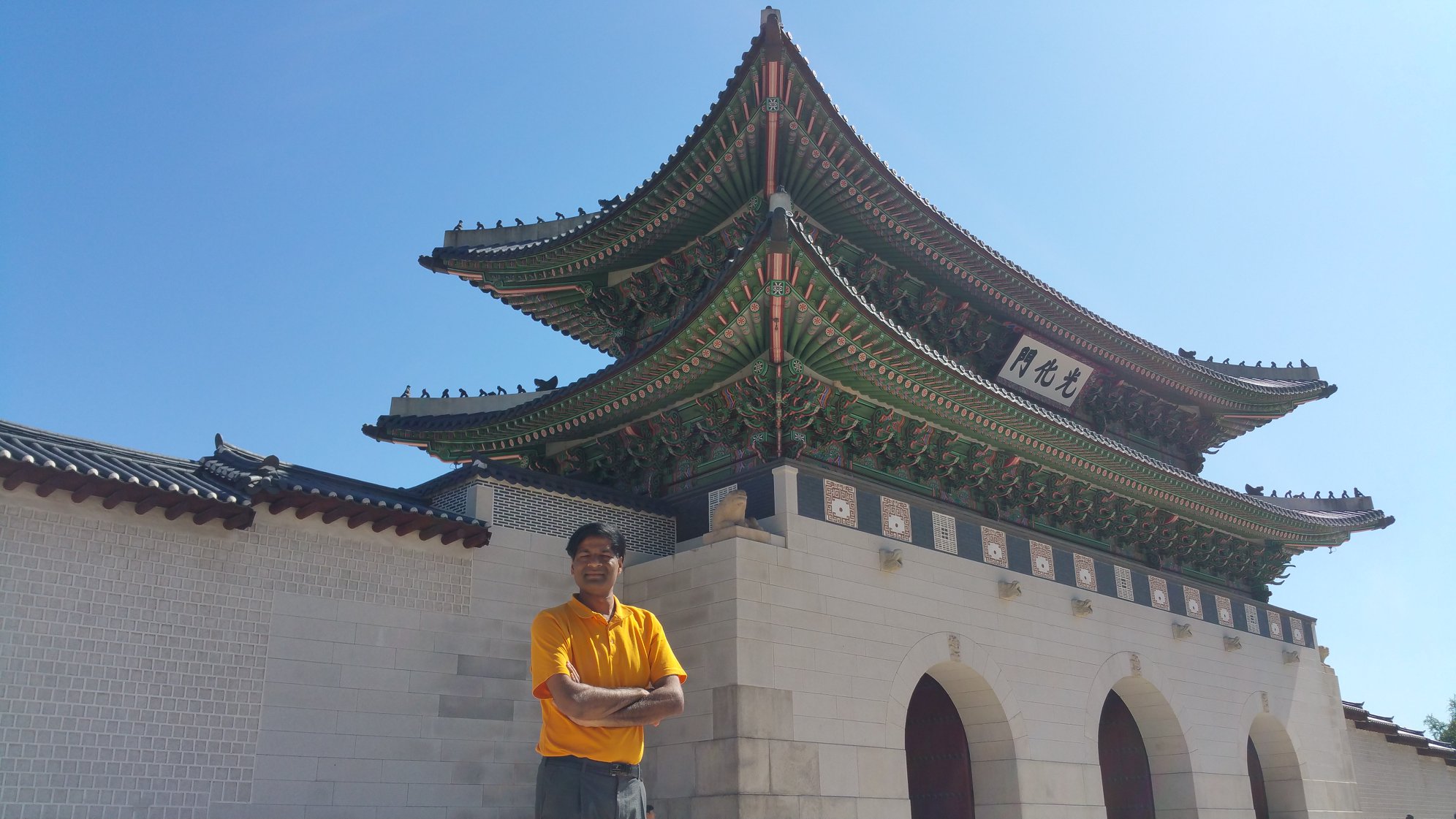
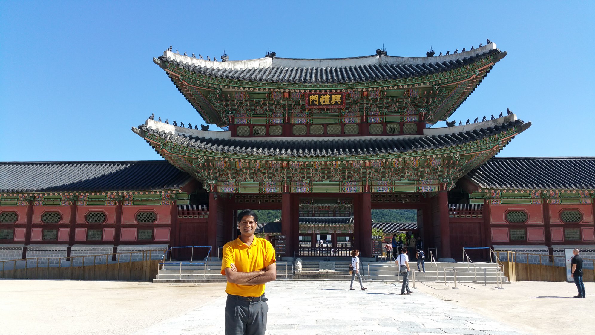
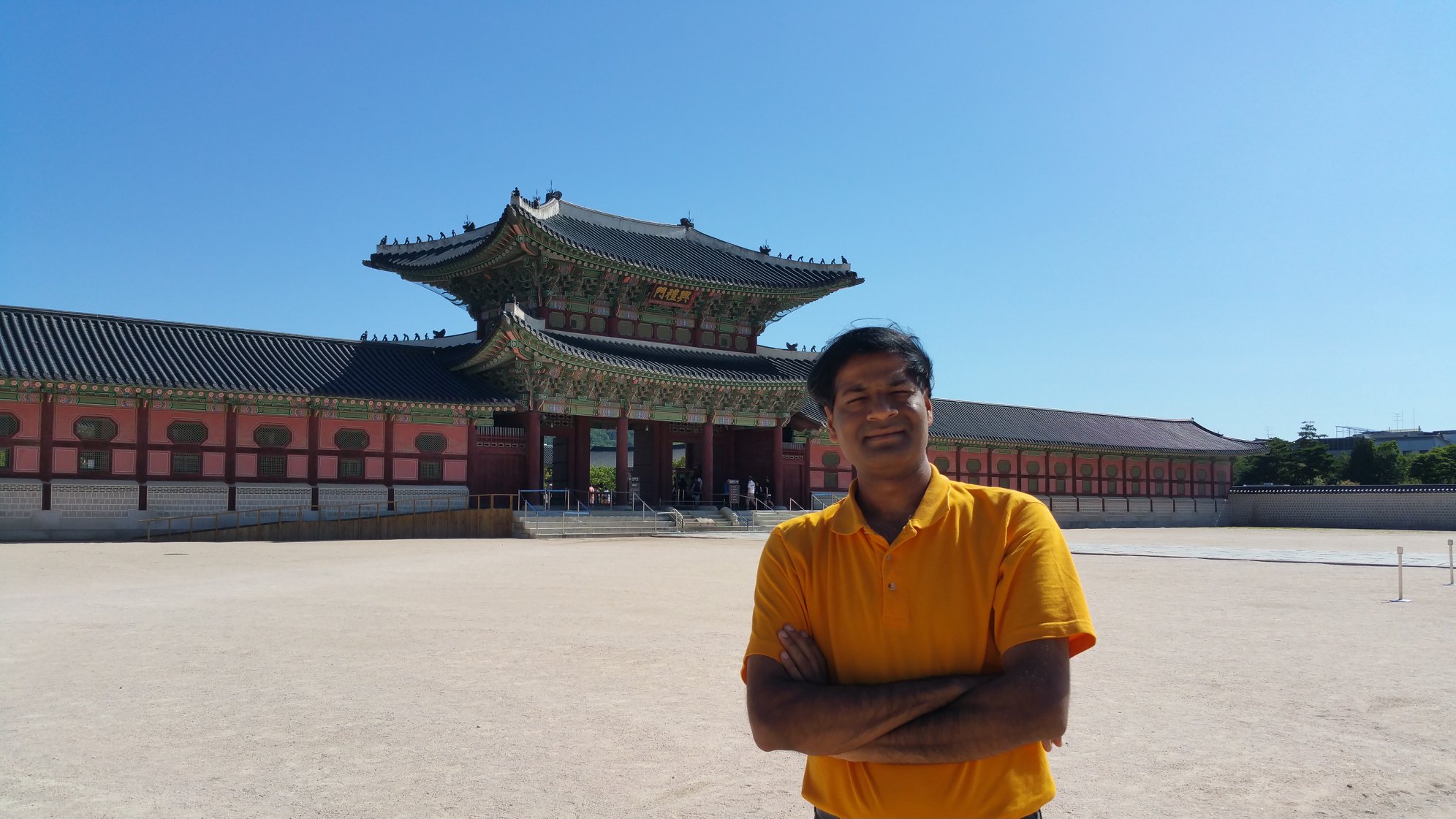
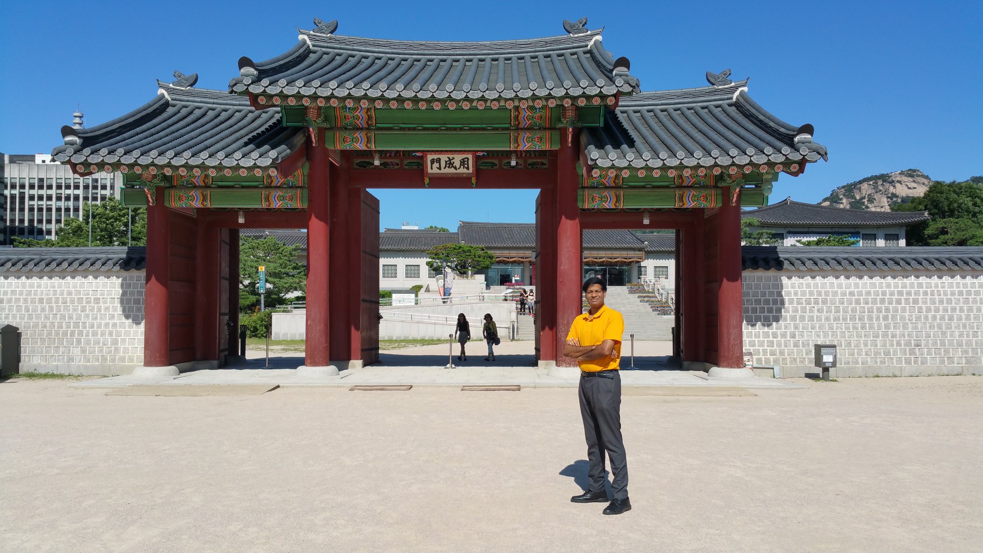
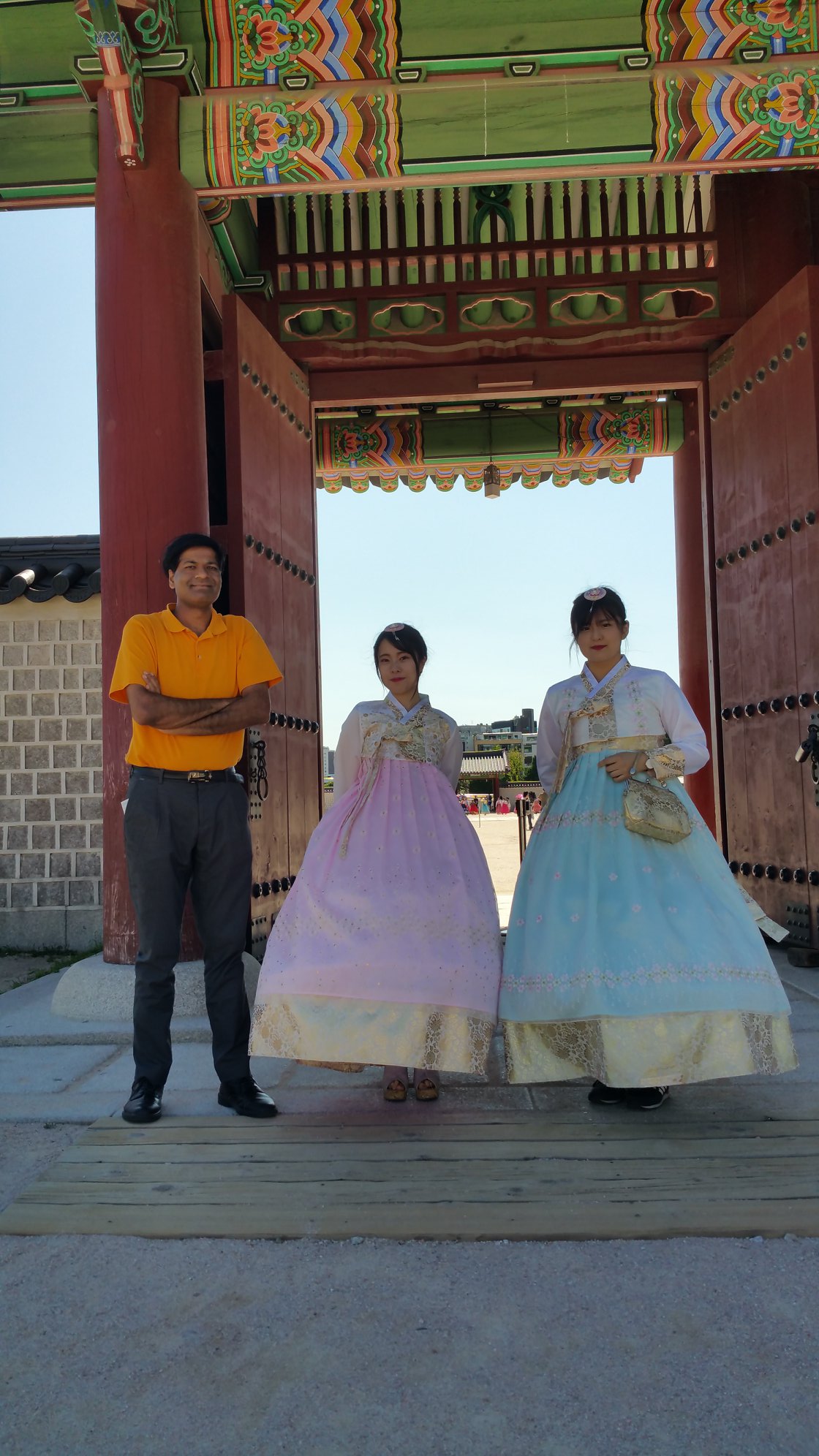
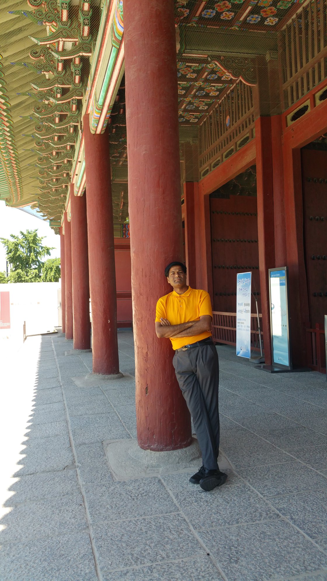
GYEONGBOKGUNG PALACE (MAIN ROYAL PALACE)
SEOUL
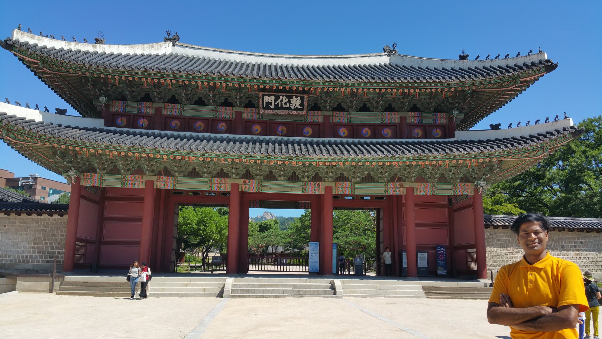
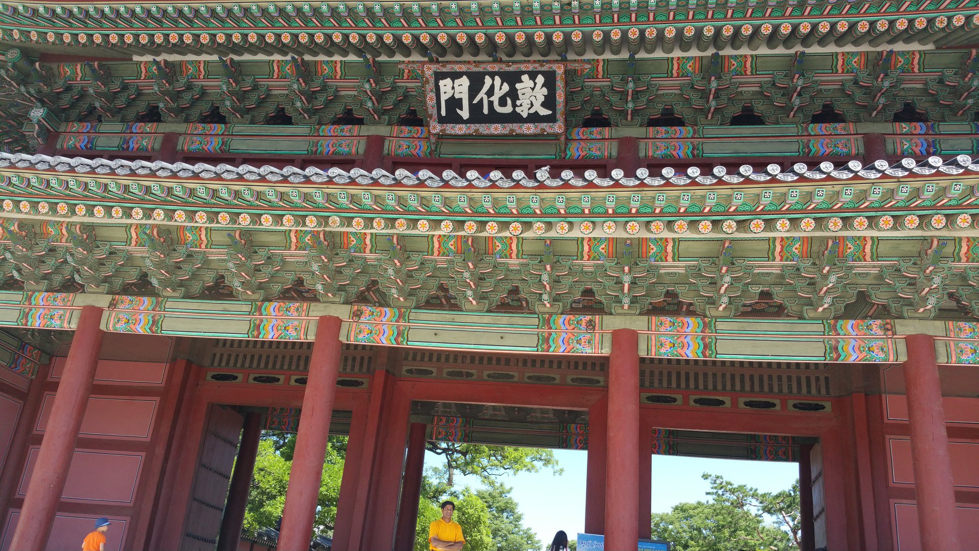
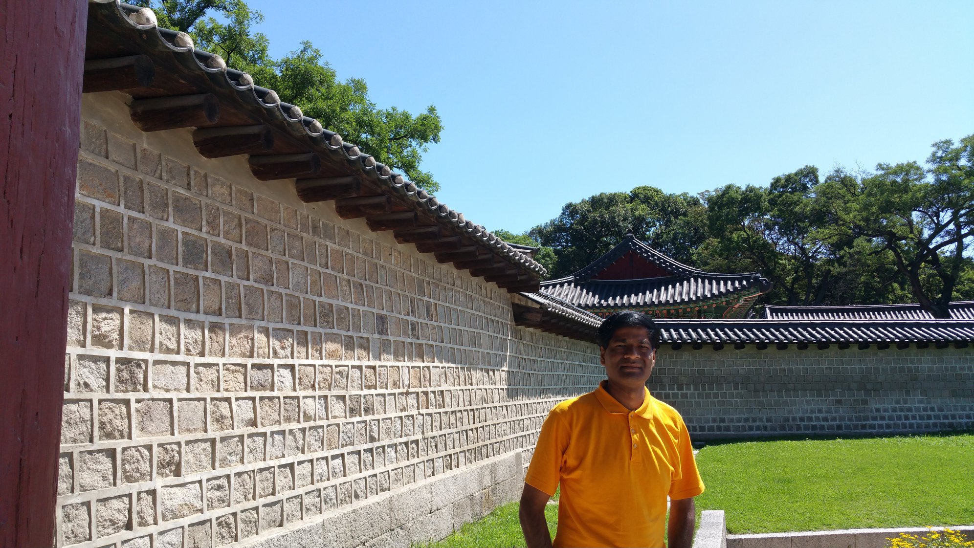
CHANGDEOKUNG PALACE
SEOUL
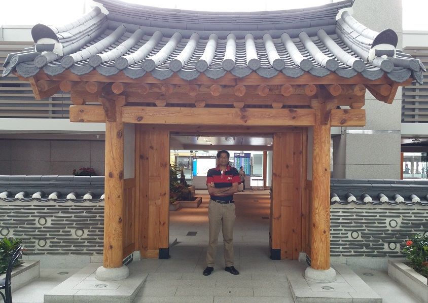
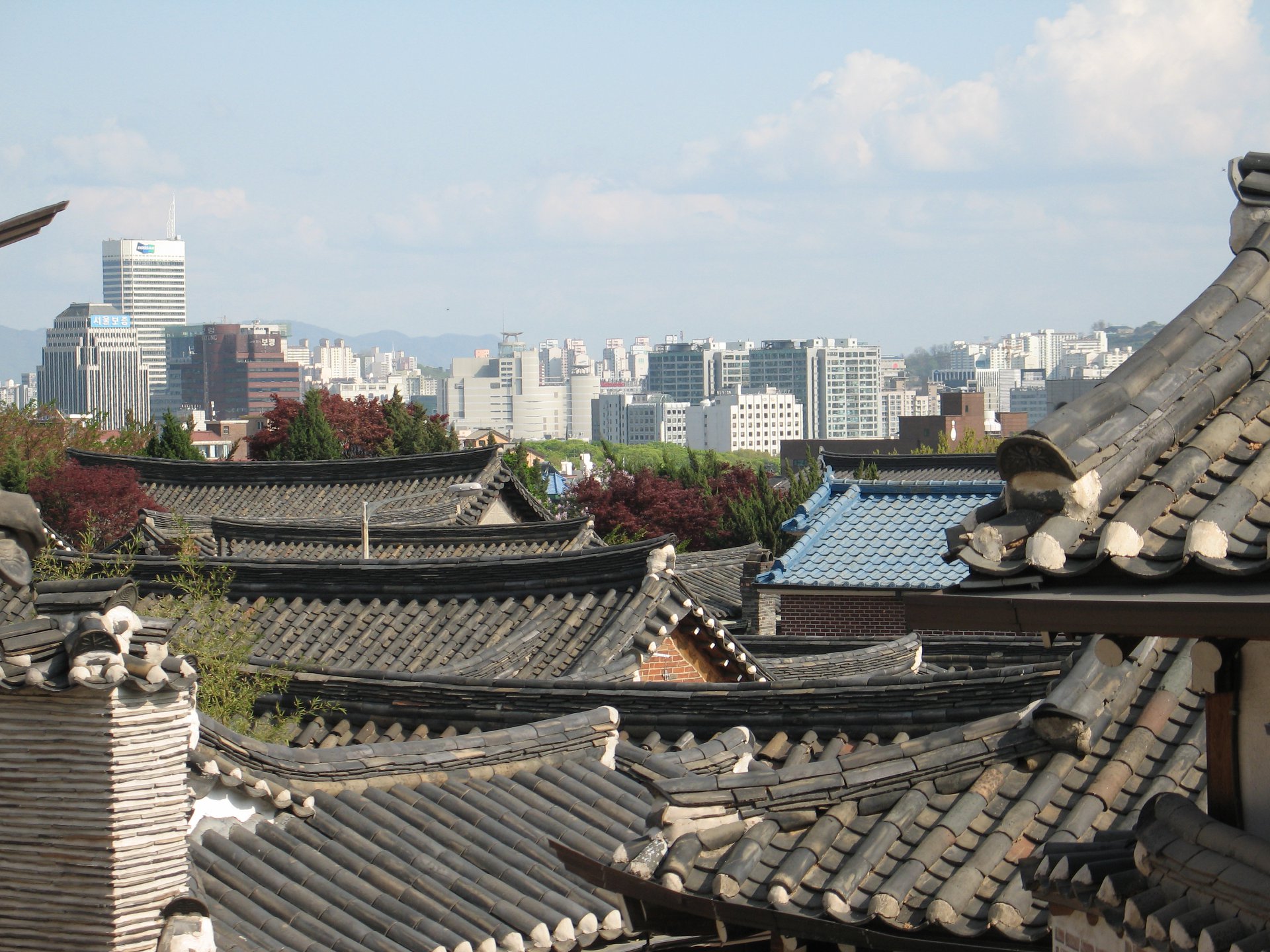
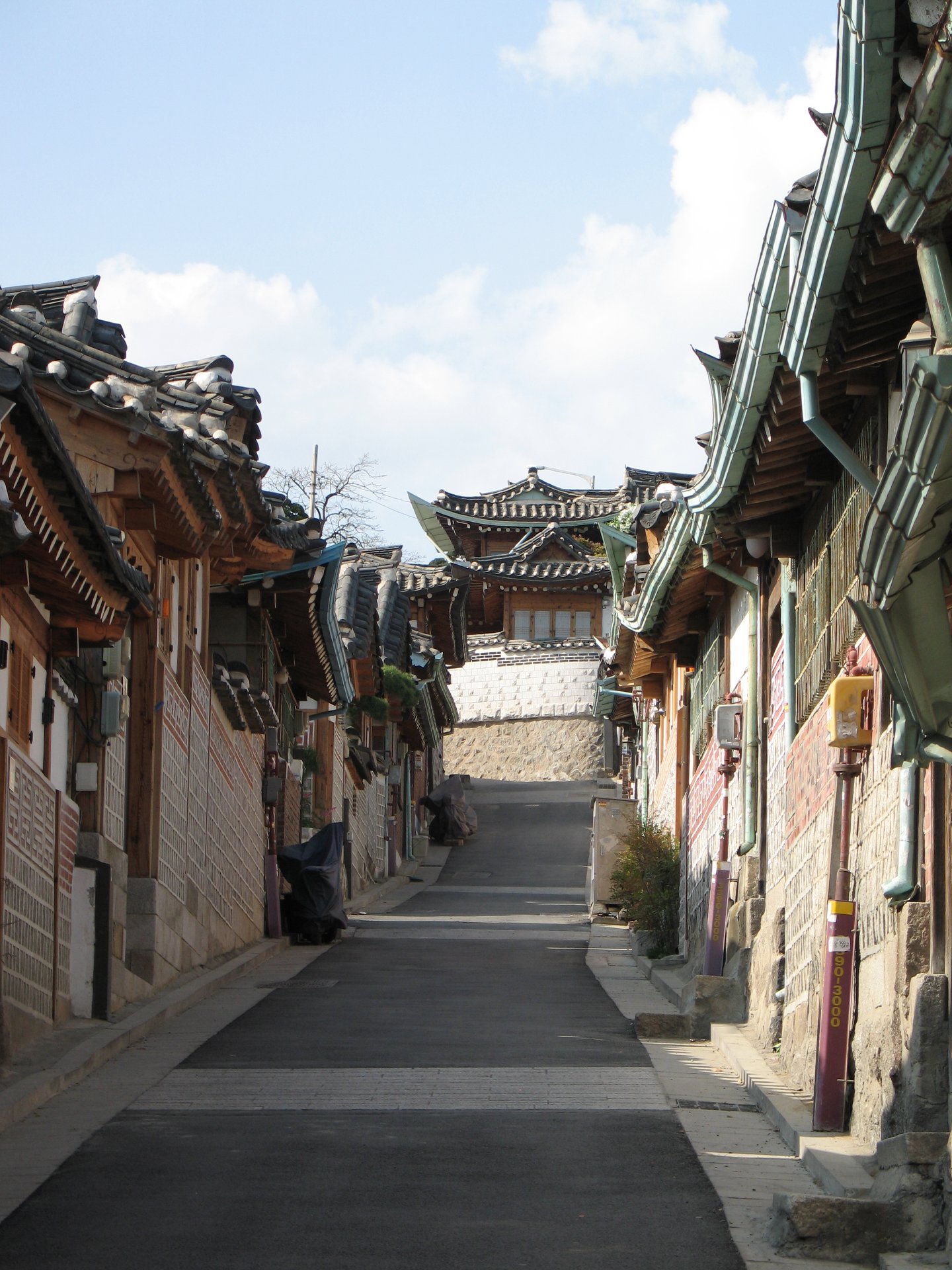
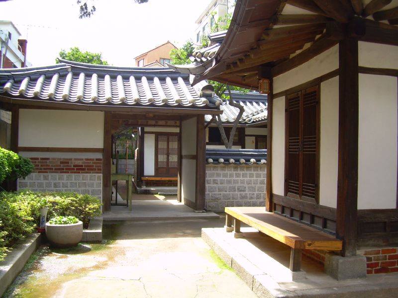
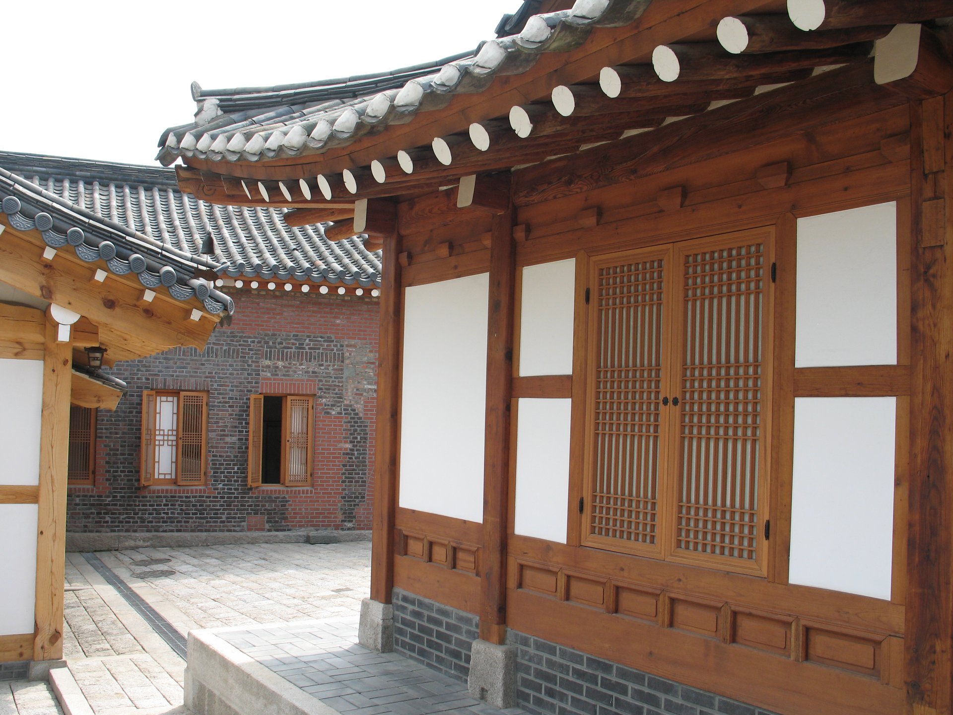
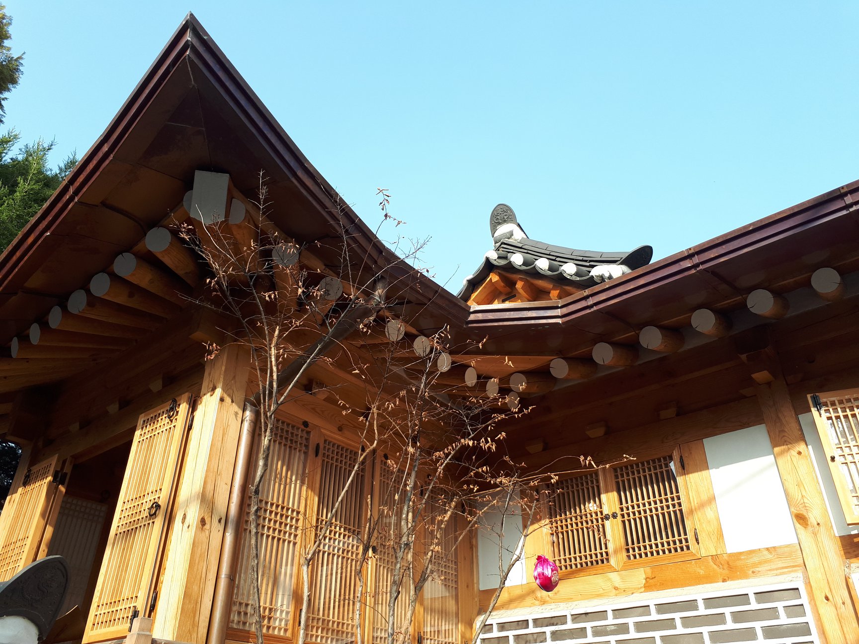
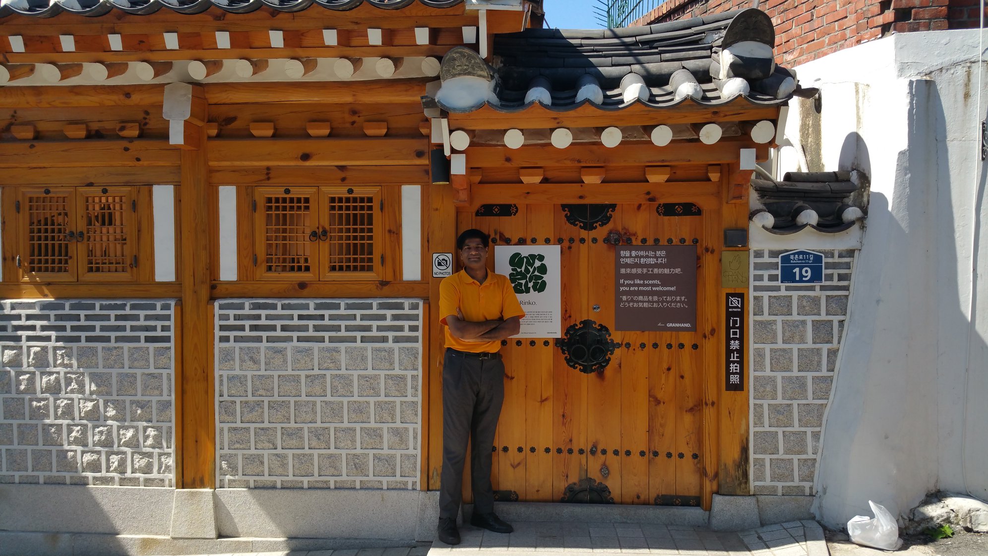
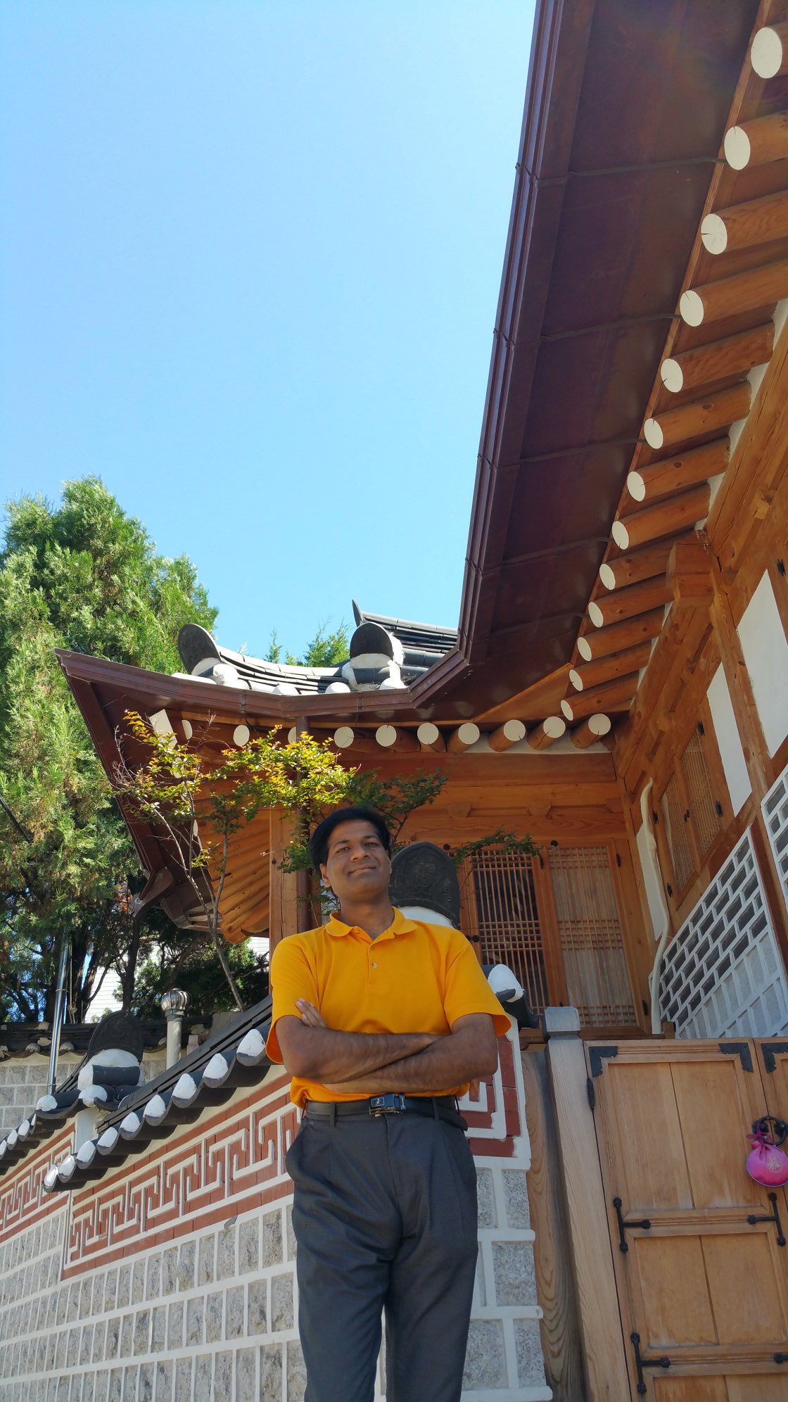
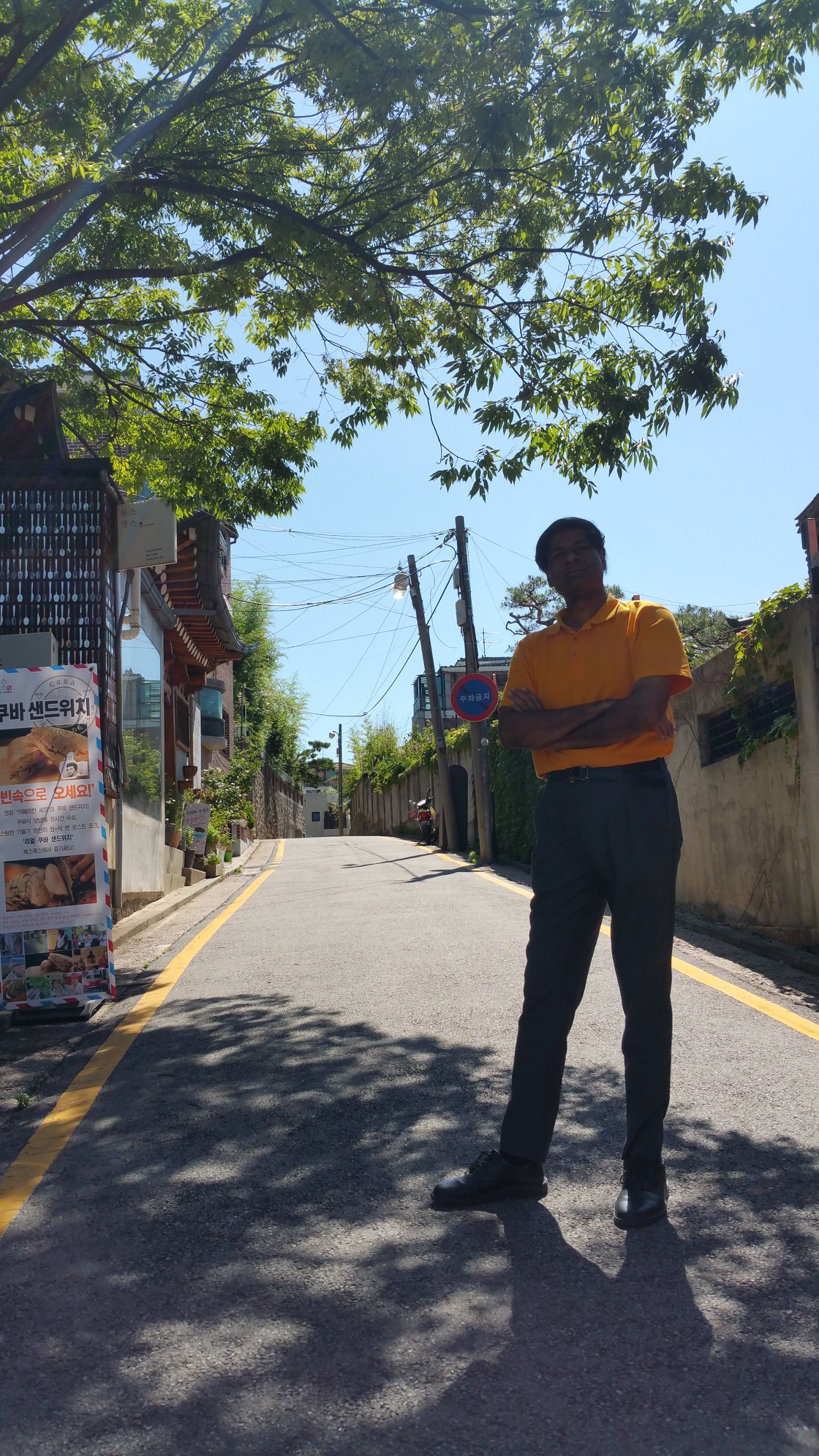
BUKCHON HANOK TRADITIONAL VILLAGE
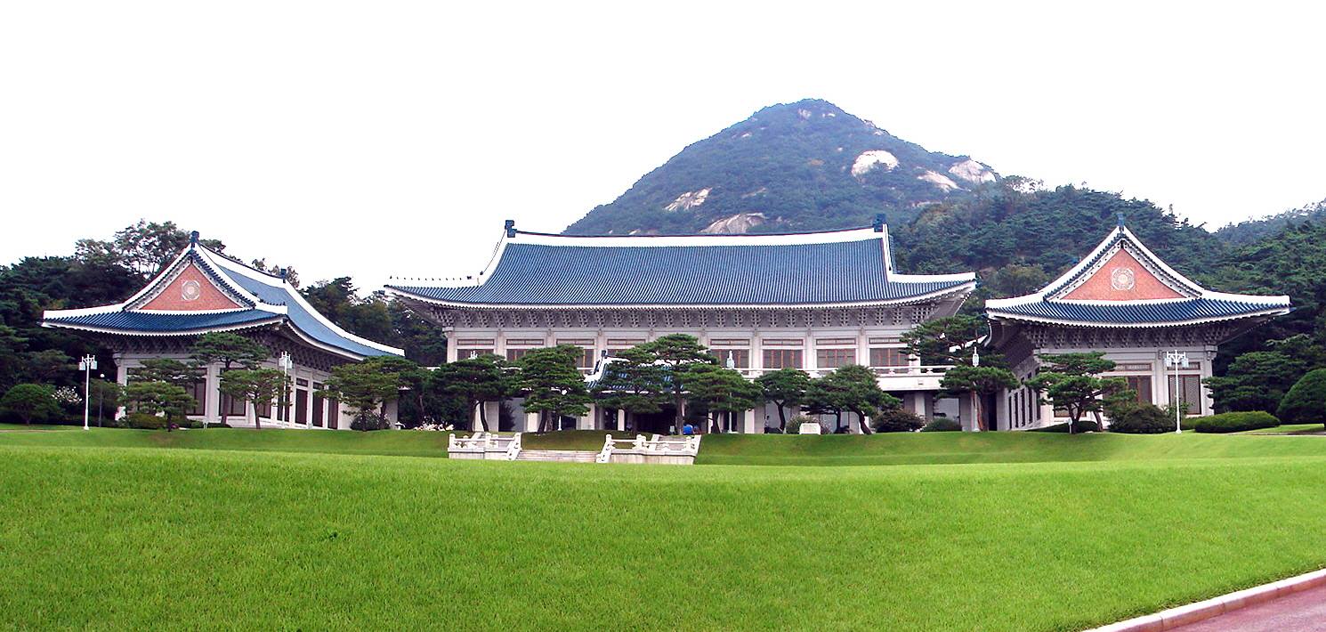
Cheong Wa Dae (popularly called the Blue House – is the executive office and official residence of the President of the Republic of Korea (the South Korean head of state)
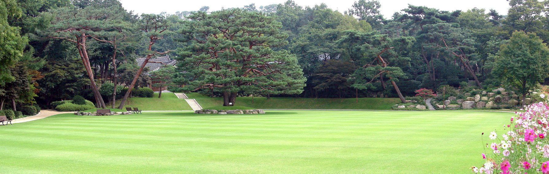
The beautiful gardens of Cheong Wa Dae (popularly called the Blue House – is the executive office and official residence of the President of the Republic of Korea (the South Korean head of state)

KOREAN DEMILITARIZED ZONE (DMZ)
North Korea – on the other side
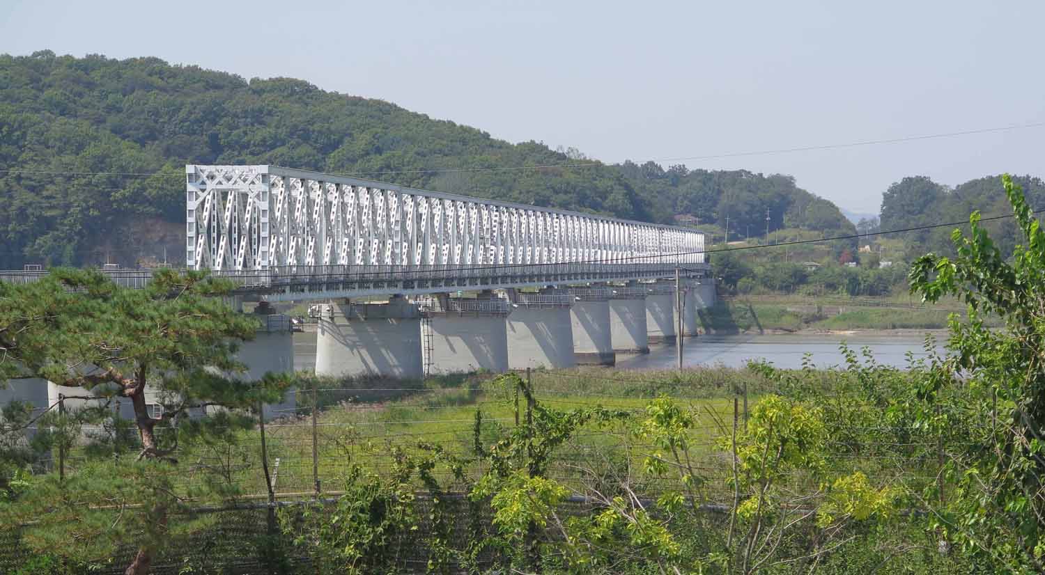
Bridge of Freedom with North Korea on the other side.The Bridge of Freedom connects North and South Korea, though a massive barricade blocks entry to the connecting point over the river. If the two sides are ever connected, this bridge could be used to enter and exit North Korea
WHAT IS THE KOREAN DE MILITARIZED ZONE (DMZ) ?
- The Korean Demilitarized Zone (DMZ – Chosŏn’gŭl/Hangul: 한반도 비무장 지대; Hanja: 韓半島非武裝地帶) is a strip of land running across the Korean Peninsula
- It is established by the provisions of the Korean Armistice Agreement to serve as a buffer zone between North Korea and South Korea
- The demilitarized zone (DMZ) is a border barrier that divides the Korean Peninsula roughly in half
- It was created by agreement between North Korea, China and the United Nations Command in 1953
- The DMZ is 250 kilometres (160 miles) long, and about 4 kilometres (2.5 miles) wide
- Within the DMZ is a meeting point between the two nations in the small Joint Security Area (JSA) near the western end of the zone, where negotiations take place
- There have been various incidents in and around the DMZ, with military and civilian casualties on both sides
KOREAN DE MILITARIZED ZONE (DMZ)
LOCATION
- The Korean Demilitarized Zone is visible at night from space due to a noticeable lack of lighting in the northern half of the Korean Peninsula
- The Korean Demilitarized Zone intersects but does not follow the 38th parallel north, which was the border before the Korean War
- It crosses the parallel on an angle, with the west end of the DMZ lying south of the parallel and the east end lying north of it
- The DMZ is 250 kilometres (160 miles) long, approximately 4 km (2.5 mi) wide
- Though the zone is demilitarized, the border beyond that strip is one of the most heavily militarized borders in the world
- The Northern Limit Line, or NLL, is the disputed maritime demarcation line between North and South Korea in the Yellow Sea, not agreed in the armistice. The coastline and islands on both sides of the NLL are also heavily militarized
Type DMZ Length 250 kilometres (160 mi) Site information Open to
the publicNo; access only granted by the North or United Nations Command. Condition Fully manned and operational Site history Built by  North Korea
 South Korea
 United Nations Command
In use since 27 July 1953 Events Division of Korea
KOREAN DE MILITARIZED ZONE (DMZ)
HISTORY
- The 38th parallel north—which divides the Korean Peninsula roughly in half—was the original boundary between the United States and Soviet Union’s brief administration areas of Korea at the end of World War II
- Upon the creation of the Democratic People’s Republic of Korea (DPRK, informally “North Korea”) and the Republic of Korea (ROK, informally “South Korea”) in 1948, it became a de facto international border and one of the most tense fronts in the Cold War
- In the Armistice Agreement of 27 July 1953, the DMZ was created as each side agreed to move their troops back 2000 m (1.2 miles) from the front line, creating a buffer zone 4 km (2.5 mi) wide
- The Military Demarcation Line (MDL) goes through the center of the DMZ and indicates where the front was when the agreement was signed
- Large numbers of troops are stationed along both sides of the line, each side guarding against potential aggression from the other side, even 67 years after its establishment
- The armistice agreement explains exactly how many military personnel and what kind of weapons are allowed in the DMZ
- Soldiers from both sides may patrol inside the DMZ, but they may not cross the MDL
- However, heavily armed ROK soldiers patrol under the aegis of military police, and have memorized each line of the armistice
KOREAN DE MILITARIZED ZONE (DMZ)
SETTLEMENTS & ADMINISTRATION
- Both North and South Korea maintain peace villages in sight of each other’s side of the DMZ
- Daeseong-dong (also written Tae Sung Dong) and Kijŏng-dong (also known as the “Peace Village”) are the only settlements allowed by the armistice committee to remain within the boundaries of the DMZ
- In the South, Daeseong-dong is administered under the terms of the DMZ
- The villagers of Tae Sung Dong are direct descendants of people who owned the land before the 1950–53 Korean War
- Residents of Tae Sung Dong are governed and protected by the United Nations Command and are generally required to spend at least 240 nights per year in the village to maintain their residency
- In 2008, the village had a population of 218 people
- Villagers are classed as Republic of Korea citizens, but are exempt from paying tax and other civic requirements such as military service
- In the North, Kijŏng-dong features a number of brightly painted, poured-concrete multi-story buildings and apartments with electric lighting
- These features represented an unheard-of level of luxury for rural Koreans, North or South, in the 1950s
- The town was oriented so that the bright blue roofs and white sides of the buildings would be the most distinguishing features when viewed from the border
- However, based on scrutiny with modern telescopic lenses, it has been claimed the buildings are mere concrete shells lacking window glass or even interior rooms with the building lights turned on and off at set times and the empty sidewalks swept by a skeleton crew of caretakers in an effort to preserve the illusion of activity
KOREAN DE MILITARIZED ZONE (DMZ)
FLAG POLES ON BOTH SIDES OF THE DMZ


- In the 1980s, the South Korean government built a 98.4 m (323 ft) flag pole in Daeseong-dong, which flies a South Korean flag weighing 130 kilograms (287 pounds)
- In what some have called the “flagpole war,” the North Korean government responded by building the 160 m (525 ft) Panmunjeom flagpole in Kijŏng-dong, only 1.2 km (0.7 mi) west of the border with South Korea
- It flies a 270 kg (595 lb) flag of North Korea
- As of 2014, the Panmunjom flagpole is the fourth tallest in the world, after the Jeddah Flagpole in Jeddah, Saudi Arabia, at 170 m (558 ft), the Dushanbe Flagpole in Dushanbe, Tajikistan, at 165 m (541 ft) and the pole at the National Flag Square in Baku, Azerbaijan, which is 162 m (531 ft)
KOREAN DE MILITARIZED ZONE (DMZ)
INCURSION TUNNELS
- Since 15 November 1974, South Korea has discovered four tunnels crossing the DMZ that had been dug by North Korea
- The orientation of the blasting lines within each tunnel indicated they were dug by North Korea
- North Korea claimed that the tunnels were for coal mining; however, no coal was found in the tunnels, which were dug through granite
- Some of the tunnel walls were painted black to give the appearance of anthracite
- The tunnels are believed to have been planned as a military invasion route by North Korea
- They run in a north–south direction and do not have branches
- Following each discovery, engineering within the tunnels has become progressively more advanced
- For example, the third tunnel sloped slightly upwards as it progressed southward, to prevent water stagnation
- Today, visitors from the south may visit the second, third and fourth tunnels through guided tours
FIRST TUNNEL
- The first of the tunnels was discovered on 20 November 1974
- The tunnel, which was about 0.9 by 1.2 m (3 by 4 ft), extended more than 1 km (1,100 yd) beyond the MDL into South Korea
- The tunnel was reinforced with concrete slabs and had electric power and lighting
- There were weapon storage and sleeping areas
- A narrow-gauge railway with carts had also been installed.
- Estimates based on the tunnel’s size suggest it would have allowed considerable numbers of soldiers to pass through it
SECOND TUNNEL

-
Entrance to the North Korean-dug 4th Infiltration Tunnel, Korean DMZ
-
The second tunnel was discovered on 19 March 1975
-
It is of similar length to the first tunnel
-
It is located between 50 and 160 m (160 and 520 ft) below ground, but is larger than the first, approximately 2 by 2 m (7 by 7 feet)
THIRD TUNNEL
- The third tunnel was discovered on 17 October 1978. Unlike the previous two, the third tunnel was discovered following a tip from a North Korean defector
- This tunnel is about 1600 m (5200 ft) long and about 73 m (240 ft) below ground
- Foreign visitors touring the South Korean DMZ may view inside this tunnel using a sloped access shaft
FOURTH TUNNEL
- A fourth tunnel was discovered on 3 March 1990, north of Haean town in the former Punchbowl battlefield
- The tunnel’s dimensions are 2 by 2 m (7 by 7 feet), and it is 145 metres (476 ft) deep
- The method of construction is almost identical in structure to the second and the third tunnels
KOREAN DE MILITARIZED ZONE (DMZ)
PROPOGANDA
LOUDSPEAKER INSTALLATIONS
- From 1953 until 2004, both sides broadcast audio propaganda across the DMZ
- Massive loudspeakers mounted on several of the buildings delivered DPRK propaganda broadcasts directed towards the south as well as propaganda radio broadcasts across the border
BALLOONS
- Both North and South Korea have held balloon propaganda leaflet campaigns since the Korean War
- In recent years, mainly South Korean non-governmental organizations have been involved in launching balloons targeted at the DMZ and beyond
- Due to the winds, the balloons tend to fall near the DMZ where there are mostly North Korean soldiers to see the leaflets
- As with the loudspeakers, balloon operations were mutually agreed to be halted between 2004 and 2010
- Many North Korean leaflets during the Cold War gave instructions and maps to help targeted South Korean soldiers in defecting
- One of the leaflets found on the DMZ included a map of Cho Dae-hum‘s route of defection to North Korea across the DMZ
- In addition to using balloons as a means of delivery, North Koreans have also used rockets to send leaflets to the DMZ
DISMANTLING
- On 23 April 2018, both North and South Korea officially cancelled their border propaganda broadcasts for the last time
- On 1 May 2018, the loudspeakers across the Korean border were dismantled
- Both sides also committed to ending the balloon campaigns
- On 5 May 2018, an attempt by North Korean defectors to disperse more balloon propaganda across the border from South Korea was halted by the South Korean government
- The no-fly zone which was established on 1 November 2018 also designated a no-fly zone for all aircraft types above the MDL, and prohibits hot-air balloons from traveling within 25 km of the Korean border’s Military Demarcation Line (MDL)
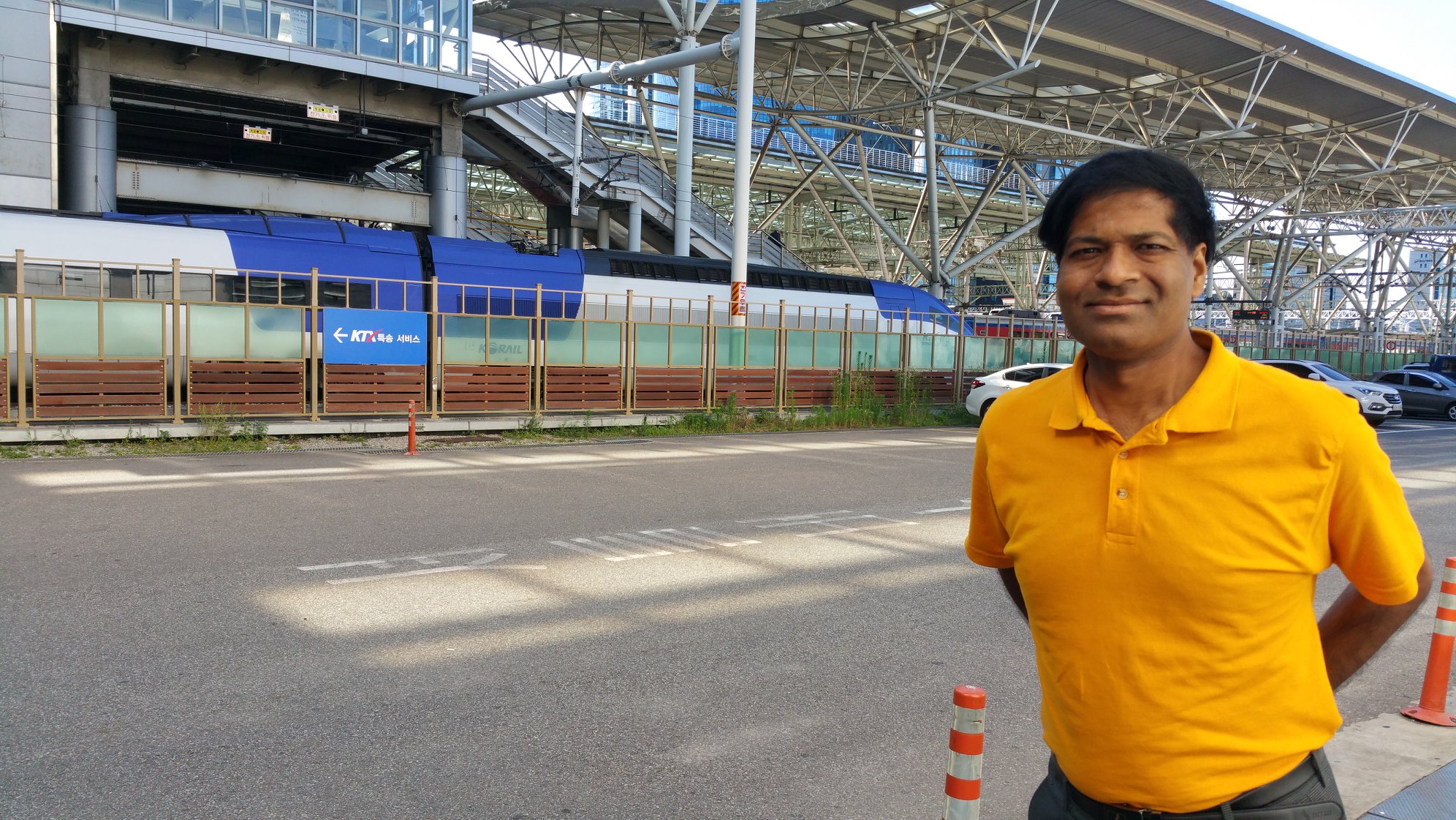
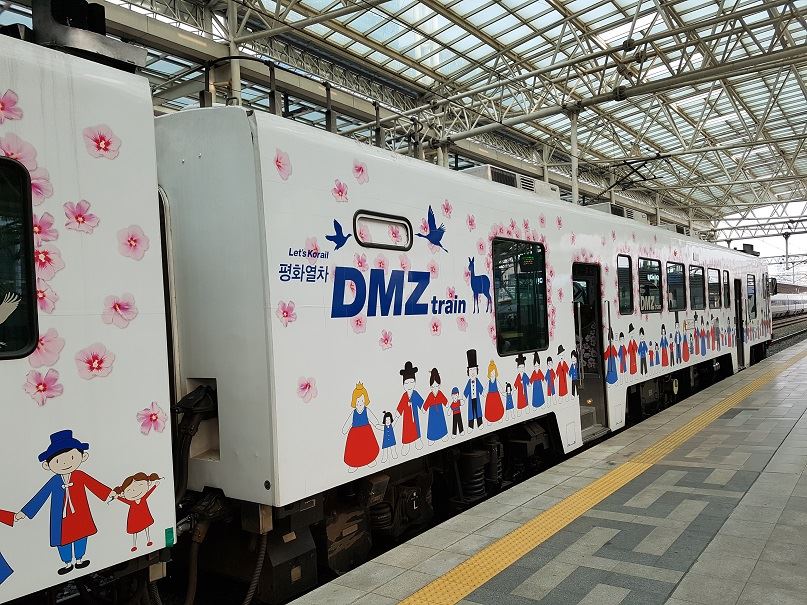
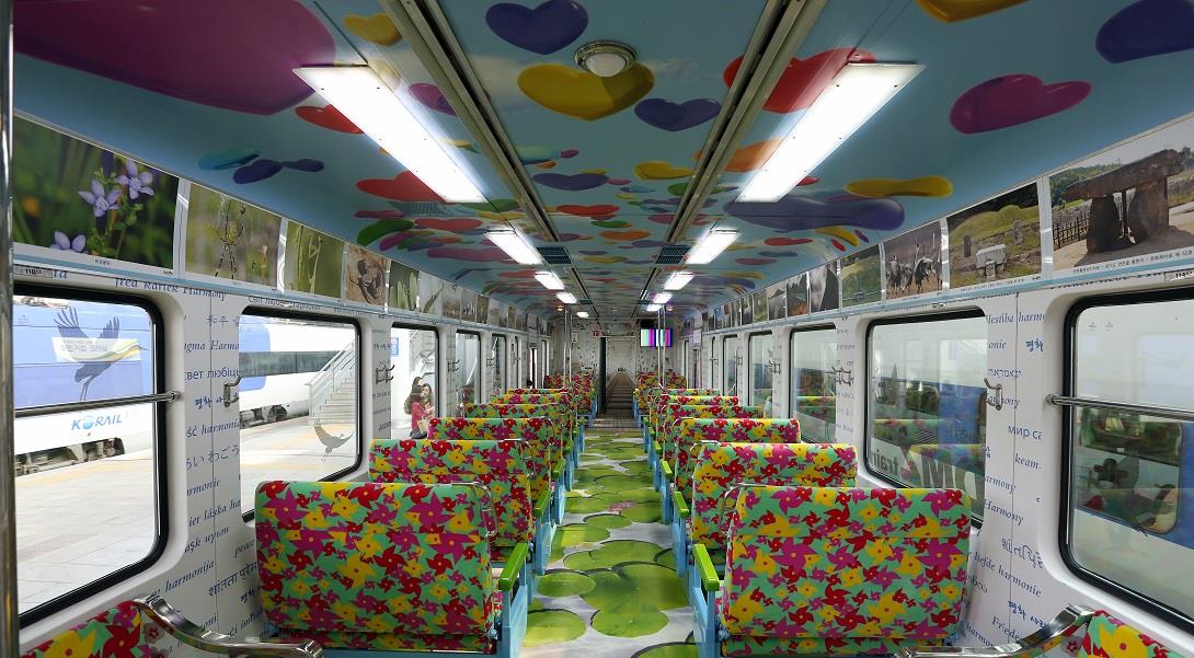
- Currently, the South Korean Korea Railroad Corporation (Korail) organizes tours to DMZ with special DMZ themed trains
- On 14 October 2018, North and South Korea, agreed to meet the summit’s goal of restoring railway and road transportation which had been cut since the Korean War by either late November or early December 2018
- Road and railway transportation along the DMZ was reconnected in November 2018
- On 1 November 2018, buffer zones were established across the DMZ by the North and South Korean militaries